Our in-house expertise in the water sector and specialist team are capable of delivering safe and secure water solutions that is adopted to withstand the demands of rapidly changing world
Preparation of DPR for Lift Irrigation scheme
Hydromancy helps government and private contractors in lift irrigation schemes by developing detailed designs for the system. We are responsible to carry out Topographic Survey, Geotechnical and Geological Investigation works including all required field and laboratory tests, review of hydrological study with detailed report. Hydromancy aims to deliver water in every corner of dry land.
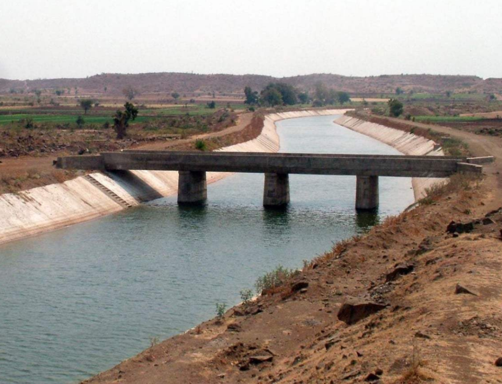
Canal design and Modernisation work
The canals over a period of time has turned into sewers. Hydromancy works on the entire water conveyance system comprising of the main canal, branch canals, major and minor distributaries, field channels and water courses. The process involves using the latest and cheap, environmental friendly methods to study, clean, design and recycle the waste contained in the water conveyance systems
Water Supply and Distribution
our engineering, project management and advisory services. We ensure to provide a system consisting of infrastructure that collects, stores and distributes water for potable and non-potable uses between water sources and consumers with appropriate quantity, quality and pressure and minimal system construction and operation cost
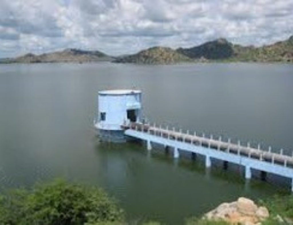
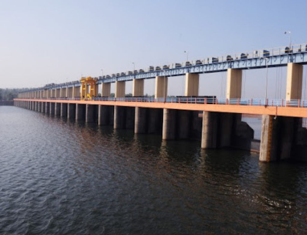
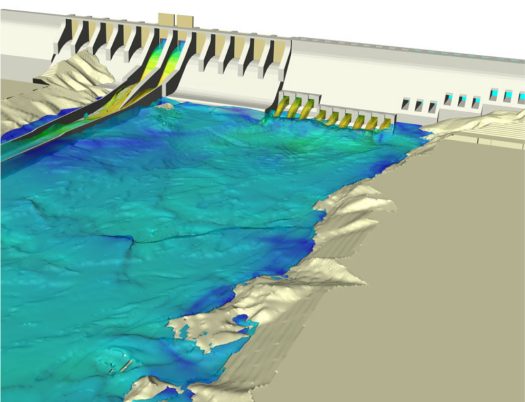
Design of Vented dams, Bridges and Check dams.
Hydromancy helps government and private contractors in Vented dams, Bridges & Barrages & Check dams schemes by developing detailed designs for the system. We are responsible to carry out Topographic Survey, Geotechnical and Geological Investigation works including all required field and laboratory tests, review of hydrological study with detailed report, GIS Maps . Hydromancy aims to deliver water in every corner of dry & Wet lands
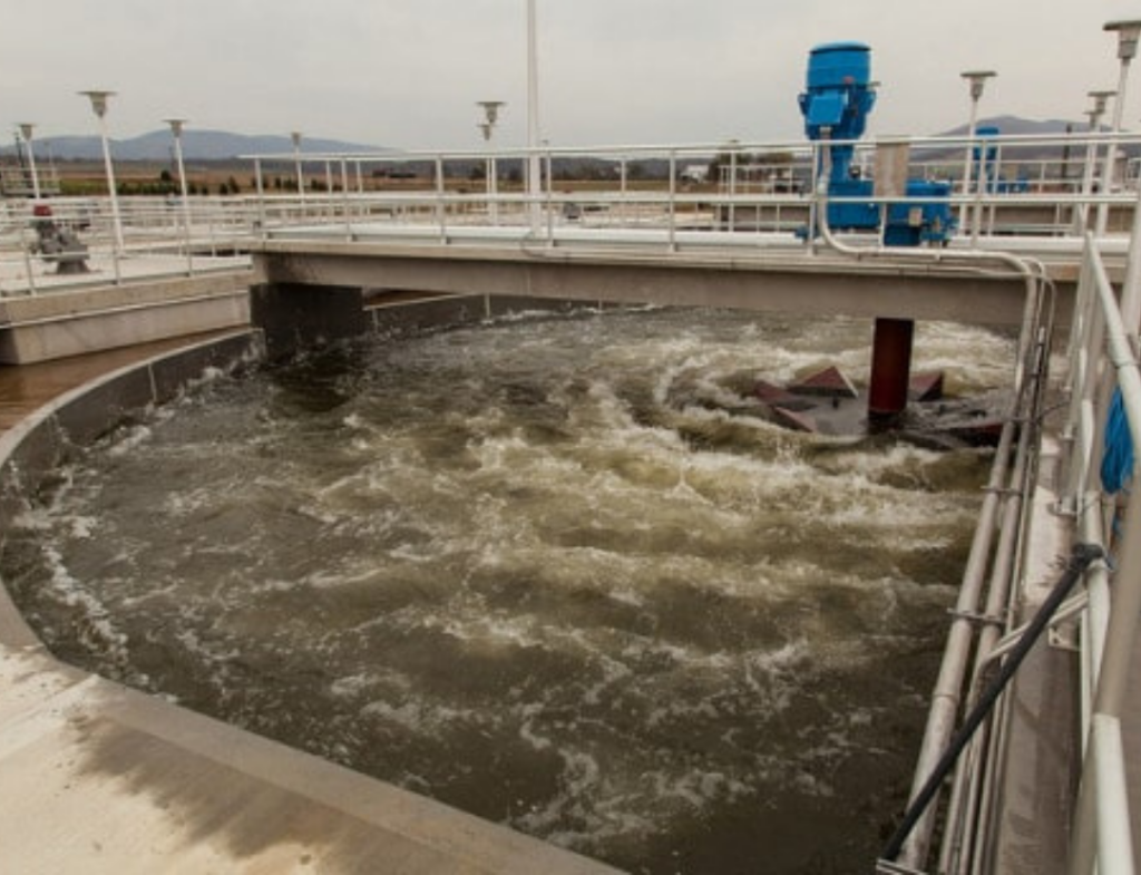
Industry waste water Management
Water pollution has many sources. The most polluting of them are the sewage and industrial waste. Most industries produce wastewater. Hydromancy uses high end latest technologies and methods to manage and minimize such production, treatment of wastewater produced within the production process and recycle or release the treated wastewater in the environment within the permissible limits
Preparation of Dam Break Analysis for Larger dams
An Emergency Action Plan (EAP) is a formal document that identifies potentialemergency conditions at a dam and specifies pre planned actions which are required to be followed for minimising damage to proper-ties and loss of life. The EAP specifies actions for the dam owner, in coordination with emergency management authorities, to be taken while responding to incidents or emergencies related to the dam.
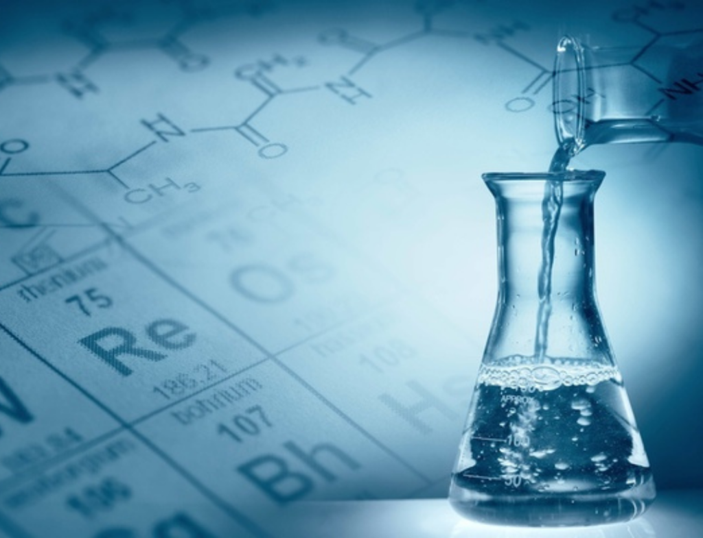
Water Auditing and Quality Check
In many places people are facing difficulty to access drinking water. Often it is polluted. Water auditing becomes a need of the hour. Hydromancy ensures the water supplied is sufficient and of good quality by our water quality monitoring process. We provide methods to quantify water flows and quality in simple and complex systems, with a view of reducing water usage and often saving money and water pollution.
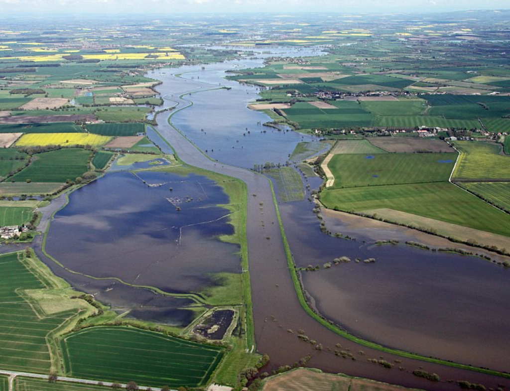
Flood Risk Mitigation and Management
Many places are prone to floods due to excess rainfall each year and with increase environmental degradation factors. Hydromancy provide tools and mechanisms to study the sources of water that could lead to floods, calculate the likelihood of flooding in areas and extent of damage it could cause, identification of mitigation measures and provide advice on actions to be taken before and during a flood.
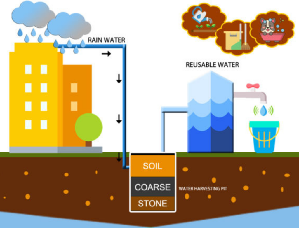
Rain water Harvesting Design and Consultation
We understand the ever increasing demand for water which needs to be satisfied. Hydromancy provides sustainable solutions for collecting, storing and using the rain water to meet the drinking, domestic and agricultural needs of people. It also involves collection and storage of rainwater into natural reservoirs or tanks, or the infiltration of surface water into subsurface aquifers (before it is lost as surface runoff).
Hydraulic and Hydrological Modeling
Hydromancy provides a wide range of hydraulic and hydrological modelling solutions for watercourses, water supply, storm water and wastewater systems to allow improved understanding, management of water resources and asset performance. The process involves evaluation, planning and budgeting for new construction and maintenance, resilience, security and preparedness for operational emergencies.
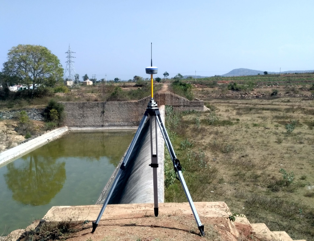
Survey, Building planning and QGIS Mapping
Hydromancy helps to create a GIS Map using QGIS which helps clients to Understand the work better and in an impressive way. A geographic information system (GIS) is a conceptualized framework that provides the ability to capture and analyse spatial and geographic data. GIS applications (or QGIS apps) are computer-based tools that allow the user to create interactive queries (user-created searches), store and edit spatial and non-spatial data, analyse spatial information output, and visually share the results of these operations by presenting them as maps.